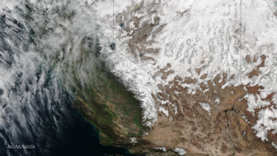
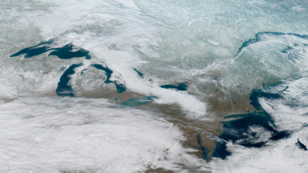
30 Jan Snow in the Sierra Nevada Range
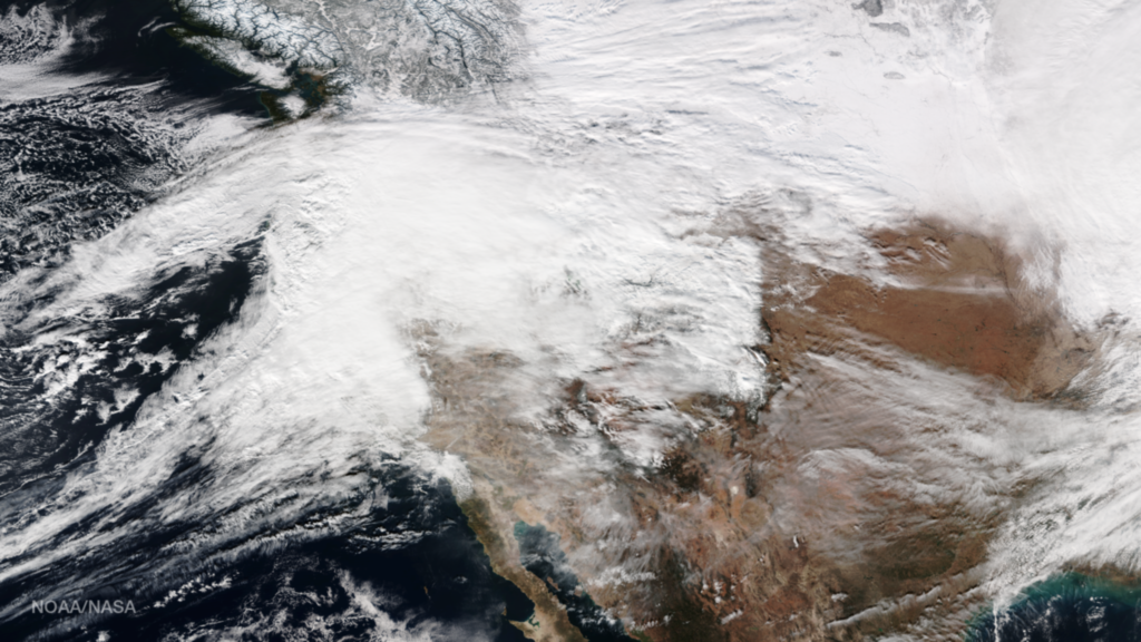
This true-color image from the Visible Infrared Imaging Radiometer Suite (VIIRS) instrument aboard the NOAA/NASA Suomi NPP satellite shows the amount of snow cover in the Sierra Nevada mountains on January 29, 2017. The series of storms that hit the area over the past several weeks...


