IMSG improves weather forecasting, climate monitoring, detection of natural hazards like wildfires and severe storms, and is always working to fine tune the detection of environmental changes like coral reef bleaching and deforestation around the world. These remote sensing capabilities are made possible by our work with environmental satellites to monitor the atmosphere, oceans, and land. At IMSG, we never stop developing and improving algorithm and software systems to better understand the world around us and help our clients plan for changed ahead.
Reading the Stars – Algorithm Development & Satellite Support
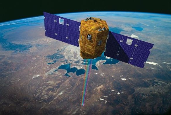
In partnership with NOAA, IMSG scientists and analysts develop and support remote sensing algorithms which process data from a wide range of environmental satellite platforms and sensors to monitor changes in the atmosphere, land, and ocean. We use this data to generate products, for direct use in operational numerical models, offering rapid mapping of hazards and improved forecasting accuracy.IMSG also supports a wide range of current and next generation geostationary and polar-orbiting satellites, including POES, GOES, NPP, JPSS, GOES-R as well as the advanced sensor suits they carry, which operate in the ultra violet, visible, infrared, microwave, and hyper-spectral bands.