Geospatial Analysis
When complex environmental challenges arise, the use of advanced geospatial analysis helps turn complex problems into manageable solutions. Our seasoned IMSG team of geospatial specialists, scientists, engineers, and policy analysts have the expertise and experience to rapidly solve complex problems and implement solutions for habitat protection.
We do this through:
Habitat Protection and Restoration
Using geographic data and information, we protect and restore habitats by planning and executing research, monitoring and collecting data, analyzing data, performing community outreach, and then developing policy to restore impaired habitats. We cover the full gamut of needed services for habitat protection and restoration and partner with our clients to ensure long-term success.
Coastal and Marine Spatial Planning
Supporting the U.S. Government’s work to reduce conflicting ocean uses, we help NOAA build capacity within regional ocean councils to better balance ecological and economic benefits through the design and development of new applications and GIS tools.
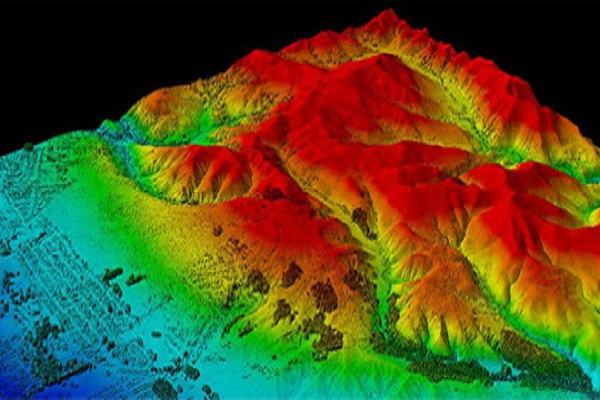
Mapping and Visualization
We are a principle contributor to the design and operation of the leading repository of lidar data in the U.S., while providing expertise for all stages of benthic data management from field collection to interpretation and distribution.
Geospatial Database and Systems Integration
IMSG is the principle architect behind multi-terabyte geospatial databases used by NOAA. These databases include near-line storage arrays and replication services for national-scale data sets distributed by multiple web firms.