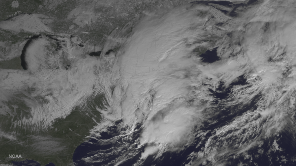
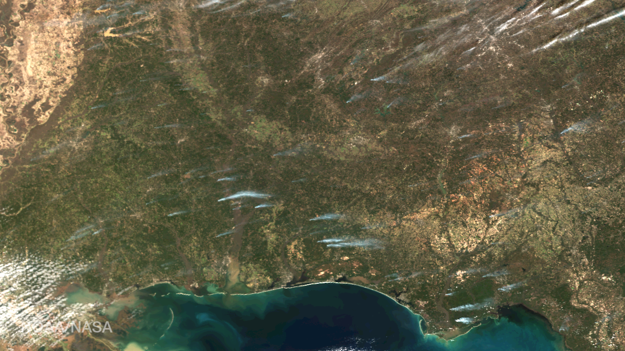
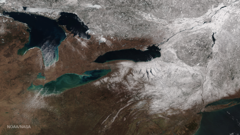
News

The Visible Infrared Imaging Radiometer Suite (VIIRS) aboard the NOAA/NASA Suomi NPP satellite captured this true-color image of Tropical Cyclone Enawo in the Indian Ocean on March 5, 2017. Forecasters with the Joint Typhoon Warning Center (JWTC) report that Enawo is located approximately 399 nautical miles...

Smoke plumes from a smattering of fires burning in the southeastern states of Louisiana and Mississippi bend toward the East in this image captured by the NOAA/NASA Suomi NPP satellite’s Visible Infrared Imaging Radiometer Suite (VIIRS) instrument on January 31, 2017. According to information from atmospheric...

The Visible Infrared Imaging Radiometer Suite (VIIRS) instrument aboard the NOAA/NASA Suomi NPP satellite captured this true-color image of a huge plume of smoke rising into the atmosphere off the coast of central Chile on January 27, 2017. According to National Geographic, strong winds and minimal...

The Hawaii island chain is seen at the western extent of GOES-16, NOAA’s next-generation geostationary satellite! Captured at 1:07pm EST on January 15, 2017 and created using several of the 16 spectral channels available on GOES-16’s sophisticated Advanced Baseline Imager, this image is among a handful...

This true-color image from the Visible Infrared Imaging Radiometer Suite (VIIRS) instrument aboard the NOAA/NASA Suomi NPP satellite shows the amount of snow cover in the Sierra Nevada mountains on January 29, 2017. The series of storms that hit the area over the past several weeks...