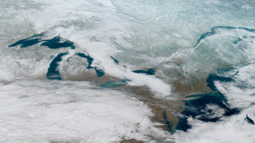
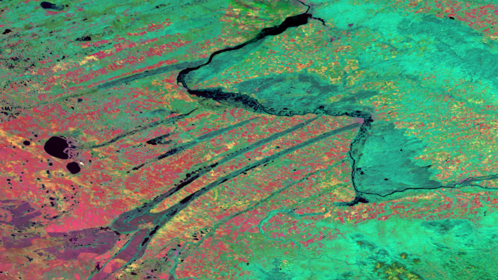
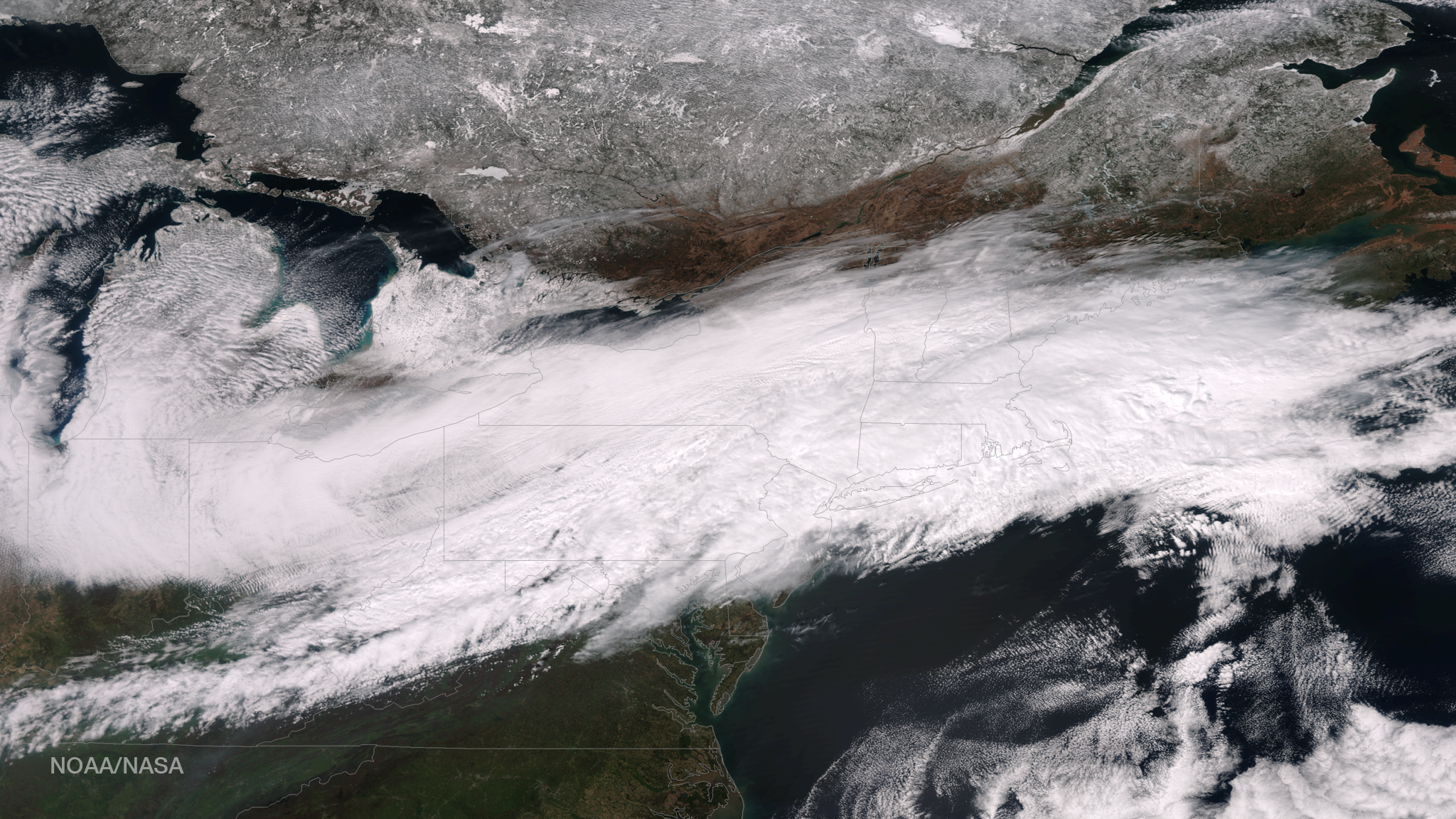
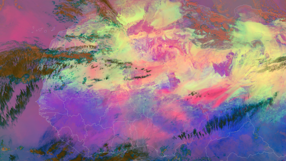
Author: admin

A large dust cloud hangs over the Atlantic along the northwestern coast of Africa in this color-enhanced image captured by the NOAA/NASA Suomi NPP satellite’s Visible Infrared Imaging Radiometer Suite (VIIRS) instrument on December 27, 2016. The bright colors shown here are the result of a...

A winter storm drifts toward the Northeast in this composite image from GOES-16, NOAA’s next-generation geostationary satellite! Captured at 1:07pm EST on January 15, 2017 and created using several of the 16 spectral channels available on GOES-16’s sophisticated Advanced Baseline Imager, this image is among a handful...

When examined with infrared imagery, the diagonal patterns of the Kulundra Steppes in southcentral Russia’s Altai Krai region become striking. Here we can see the contrast between the disparate surface temperatures of the agricultural fields (pink), forested areas (green), and bodies of water (black). These...

The official start of astronomical winter — the winter solstice — occurred at 5:44am the morning of December 21st. The winter solstice is the exact moment that the Northern Hemisphere is tilted the farthest it ever gets from the sun. As a result, December 21st...

The NOAA/NASA Suomi NPP satellite captured this true-color image of Tropical Cyclone Vardah in the Bay of Bengal on December 11, 2016. According to reports from the the Indian Meteorological Department, this “very severe” cyclone made landfall near the south Indian states of Tamil Nadu and...