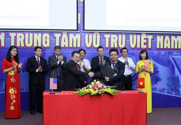
03 Oct Memorandum of Understanding with Vietnam National Space Center
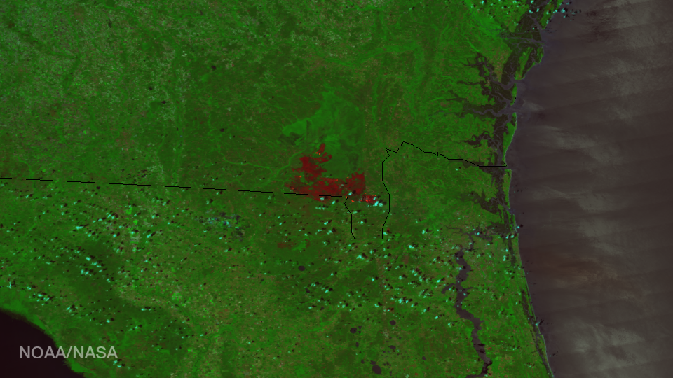
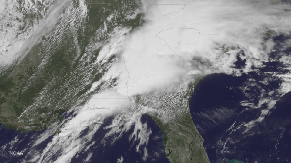
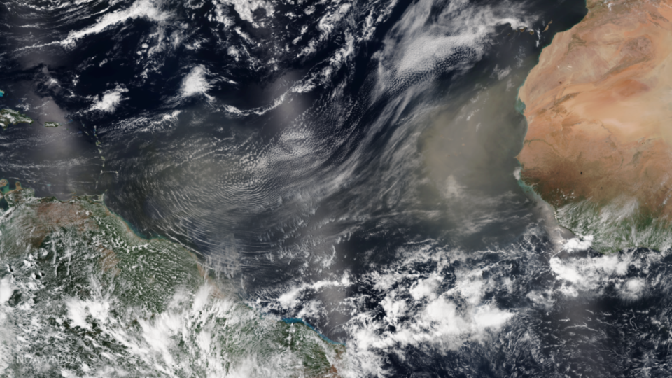
I. M. Systems Group, (IMSG) signed Memorandum of Understanding with Vietnam National Space Center (VNSC) for developing integrated aperture radar (SAR) applications for LOTUSat. For over the past 15 years, IMSG has contributed actively to the U.S. Satellite Remote Sensing Program. Building on the foundation of this...